Wow, what a trip. As my last major holiday before heading back to the States I decided to go back to Scotland. A few months ago I was trying to think about what places I'd really like to see or places I'd want to go back to...Scotland came up at the top of my list. Specifically the Isle of Skye, but it's a long journey there from London...Granted it would be longer still from the States. In looking at a long-distance walking book one picture jumped out at me. When I looked where it was I was like "hey!! that's doable!!!" Arran was only a rain journey to Glasgow, then another rail journey to a harbour town and a ferry ride to the Isle. Easily done by my standards. So I booked it and had about 3 full days (2 half days and 2 full days) to enjoy the Isle of Arran. Took my bike up (free of charge) as well so I could cycle around the Isle as well as hike to my heart's content.

Turns out I got to visit Arran on its (probably) hottest 3-4 day stretch of the year. As in, warmest place in the UK, upwards of 30 degrees Celsius, which feels pipping hot for the UK. Combine that with the daylight hours of Scotland at this time a year and you've got a great combination.
When I arrived late afternoon I almost immediately set off from my B&B hiking to the neighbouring town (around 3 miles away). I wanted to see as much of the Isle as possible. After having a meal and a beer I strolled back feeling like I had loosened my legs up enough for the next day's long hike. When I told the B&B guy what I planned on doing (it was ambitious I'll admit) he said I wouldn't be able to...little did he know he was dealing with a Moyer...100% stubbornness at times. My plan was to hike the 4 tallest peaks of Arran in a single day. Probably around 16-18 miles depending on how many times I got lost on the trails. The peaks weren't THAT high...only around 2,600-2,800 ft or so, but when you're starting at sea level and go up and down 500-1000 ft between each one it adds up. Not to mention some of the trails were about as sketchy as I've ever been on. One was like being on a beach at 2,000 ft only at an angle you wished you weren't standing at!!! I had been warned that a rugged 31 yr old local had been found dead after slipping in the same area and plummeting down the cliff. Wasn't found for three days. Combine those factors with the lack of water on the mts and the hot temps (especially hot since it's been 10-12 degrees Celsius lately in London) I was looking at a challenging day. In the end I completed my day in just under 9 hours. The next set of pictures are a few selections from that day.


 Goatfell - the highest peak. B&B proprietor said it was 3 hours up 2 hours down...I made it up in just under 2 hours.


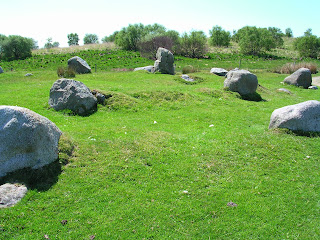
My next day consisted of cycling around the Isle on the perimeter road. About 55 miles the whole way round. Partway around I took a detour and walked out a couple of miles to some stone circles that dated back to 3500 to 5000 BC or something like that. Older than the pyramids.




I got in mid-afternoon and decided I'd take a stroll to the next town for a meal via the coast path. This was probably 6-7 miles, but I can't say for sure. A lot steeper in places than I expected, but well worth it. I took the shorter path home.


My favourite picture (maybe, too many to really count)
Turns out I got to visit Arran on its (probably) hottest 3-4 day stretch of the year. As in, warmest place in the UK, upwards of 30 degrees Celsius, which feels pipping hot for the UK. Combine that with the daylight hours of Scotland at this time a year and you've got a great combination.
When I arrived late afternoon I almost immediately set off from my B&B hiking to the neighbouring town (around 3 miles away). I wanted to see as much of the Isle as possible. After having a meal and a beer I strolled back feeling like I had loosened my legs up enough for the next day's long hike. When I told the B&B guy what I planned on doing (it was ambitious I'll admit) he said I wouldn't be able to...little did he know he was dealing with a Moyer...100% stubbornness at times. My plan was to hike the 4 tallest peaks of Arran in a single day. Probably around 16-18 miles depending on how many times I got lost on the trails. The peaks weren't THAT high...only around 2,600-2,800 ft or so, but when you're starting at sea level and go up and down 500-1000 ft between each one it adds up. Not to mention some of the trails were about as sketchy as I've ever been on. One was like being on a beach at 2,000 ft only at an angle you wished you weren't standing at!!! I had been warned that a rugged 31 yr old local had been found dead after slipping in the same area and plummeting down the cliff. Wasn't found for three days. Combine those factors with the lack of water on the mts and the hot temps (especially hot since it's been 10-12 degrees Celsius lately in London) I was looking at a challenging day. In the end I completed my day in just under 9 hours. The next set of pictures are a few selections from that day.

Ferry!!!

Looking at the Isle of Arran

Holy Isle


The path up

Looking westward off Goatfell

Brodick in the background

Looking north at North Goatfell

Northward again

The path up...


"The Saddle" aka beach of death at 2,000 ft

Looking up the Saddle

My path up Cir Mhor - pretty much straight up (or at least it felt that way)

View from Cir Mhor

Looking at Caisteal Abhail

View south

Another Southern view


Natural arch near Beinn Tarsuinn

View from Beinn Tarsuinn

View from either Beinn Tarsuinn or Beinn Nuis, can't remember which

View up the valley

Lots of coastline

Standing Stone

More standing stones


Yet more

Sheep for my mom
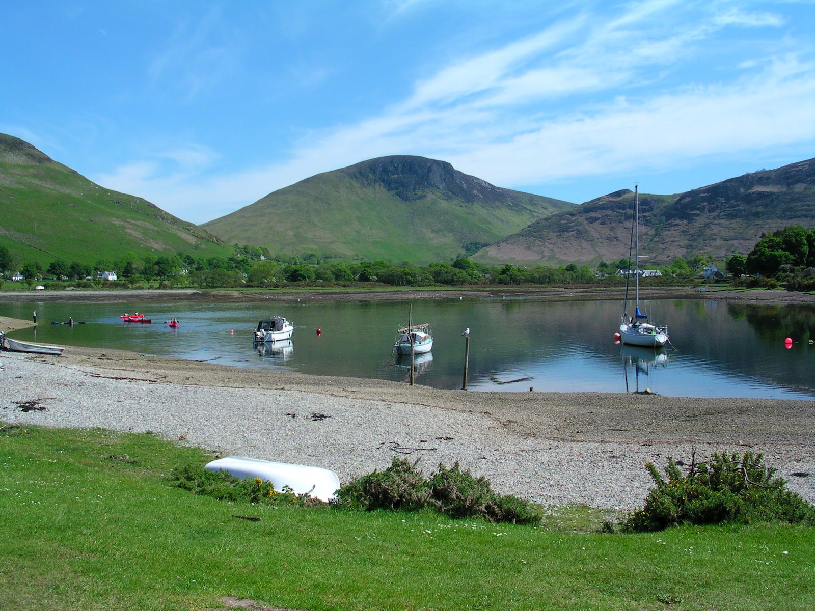


That doesn't look steep, but it was a LONG hill...took a while, esp in the heat of the day


Moooo

After my hike along the coast path

Coast path
Following morning I rode the bus around 1/3 of the Isle to some waterfalls and ancient tomb site. Glenashdale Falls and the Giant's Grave. Pretty places. You can see the clouds on the mountains and the lack of viability. This was what I expected when I came. I got really really really lucky. Often you can't see 10 ft in front of you, but I got two picture perfect clear days. One of my best trips for sure (so hard to rank them though).

Glenashdale Falls


Giant's Grave (honestly I didn't write my name...it was another Sam)


Cloudy morning

Looking toward Goatfell

Bye bye...